Panorama

While the time lapse was recording on my phone, I snapped enough photos to stitch together a panorama showing Karl stretching from the Pacific Ocean deep into the San Francisco Bay.
The Golden Gate Bridge is just barely peeking through the fog near the center of the frame.

Having spent a couple of days in the valley, this vantage point gave me a whole new appreciation for Yosemite. At 7,214 feet in elevation (1.37 mi/~2.2 km), the view from Glacier Point is magnificent.
From this elevation, the horizon is 104.1 miles (167.53 km) away. It was a beautifully clear day, so it seemed like we could see it all.
Yosemite Falls (to the left) was nothing but a stain on a rock face for this visit. The dry summer had taken its toll. Half Dome (to the right), however, looked magnificent towering over the green valley below.

The views from the hills in San Francisco are always the best.

The (almost) full 360-degree view from Coit Tower in SF. How many landmarks can you spot?
This was stitched together from 68 individual photos with a final resolution of 26,501×6,780 pixels. If printed, it would measure 109×20 inches. I don’t even want to think about the framing bill.

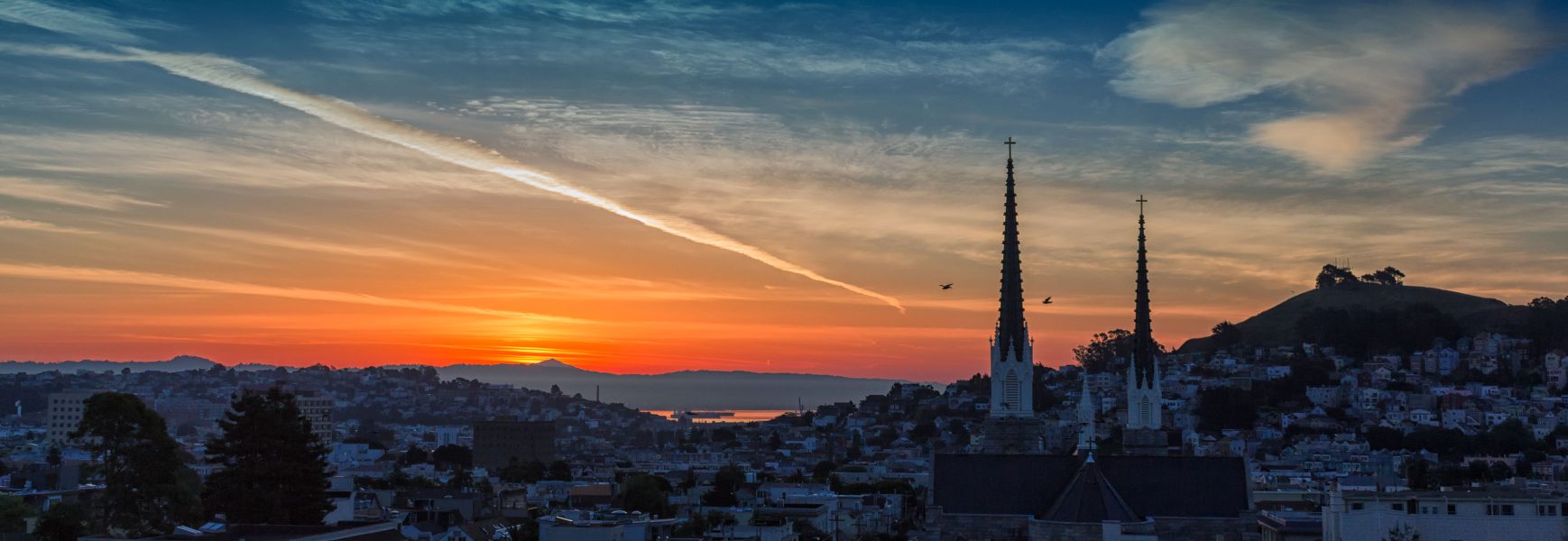
Who doesn’t love an oversaturated sunrise shot?


